
Indian River County, Florida Parcel Data & Appraiser Information Search
In Indian River County Florida 94,790 parcels, You Can Search Property Record With Parcel number, owner name, or address. If You Want to search With Parcel ID, enter the with spaces (example: 17 31 18 35514 000 0260). Get property, tax and owner details.
Florida Property Search
| Parcel Number/Parcel ID | Owner Name | Physical Address | Physical City | Market Value | Land Value | Sale Price | Sale Year | Living Area | Land Sq Ft | Actual Year Built | Effective Year Built | No. of Buildings | No. of Residential Units | DOR Use Code | Owner Mailing Address | Tax Authority Code | Taxable Value (NSD) | Just Value Homestead | Short Legal Description |
|---|

Property Tax Calculator
Transfer Fee Calculator

Property Tax Rates

Find Your County Map

County Property News
Indian River County, Florida maintains a detailed parcel management system through the County Appraiser’s office, offering regularly updated public property records. The county tracks 94,790 parcels and 109,372 matched structures, using multi-year aerial imagery to keep data consistent and accurate. Address records were recently refreshed, adding 117,400 verified secondary addresses. In addition, 94,692 parcels now include standardized zoning information, supporting precise property assessments, tax roll accuracy, and long-term land use planning.
Indian River County, Florida Property Overview
Indian River County includes 75,973 residential properties and 3,349 commercial properties. The typical single-family home is 32 years old with an average size of 1,911 sq. ft. For 2026, the county recorded 561 residential sales, while 0.55% of properties are seriously underwater. The effective countywide property tax rate stands at 0.74%.
Residential Properties
75,973
Commercial Properties
3,349
Avg. Home Age Single Family
32 Years
Avg. Square Feet Single Family
1,911 sq. ft
Residential Sales 2026
Homes Seriously Underwater
0.55%
Residential Sales past year
Rich Homes percentage
37.32%
Effective 2026 Property Tax
0.74%
Total Foreclosure Filings 2025
28
Nearby Counties – Indian River County
If you are exploring property information in Indian River County, Florida, several nearby counties also offer valuable parcel data, ownership records, and real estate insights. These surrounding areas help you compare tax details, market trends, and property characteristics beyond Indian River County. Visit the neighboring county pages to access accurate and up-to-date property information for your research.
Top Cities in Indian River County Florida
The leading cities in Indian River County include vibrant residential and commercial communities that shape the county’s property landscape. These areas feature established neighborhoods, coastal development, and growing housing markets. Their parcel volumes significantly contribute to local property assessments, zoning management, and countywide data tracking.
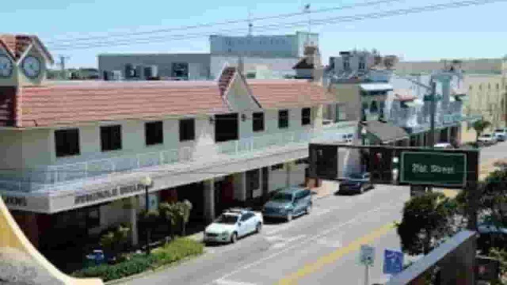
Vero Beach
10,200 Parcels

Sebastian
14,500 parcels
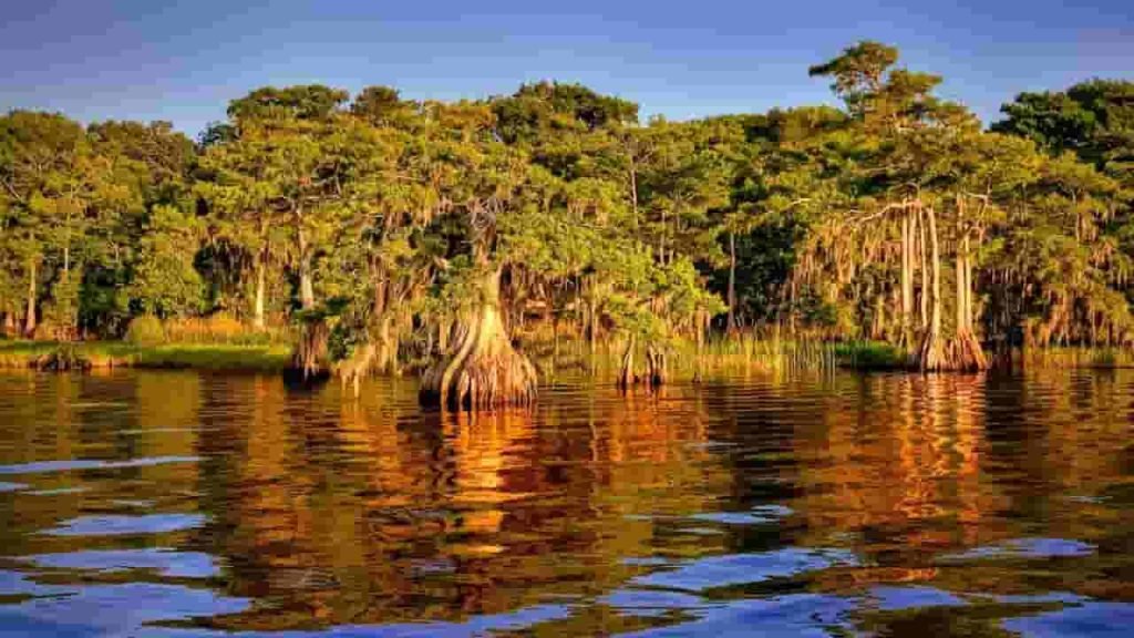
2,100 Parcels
Indian River County FL Property Search Tool – 4 Best Methods
Our Indian River County Property Search Tool provides fast, free access to complete parcel information. You can search by owner name, property address, parcel ID (PIN), or city name. Instantly view ownership details, tax records, sales history, and full property characteristics with just a few steps.
Search By Owner Name
Search any property in Indian River County using the owner’s recorded name.
Search By Address
Enter a full or partial address to pull up detailed parcel information in Indian River County, FL.
Search By Parcel PIN
Use the parcel number for the most accurate and direct property lookup.
Search By City Name
If other details are unavailable, type a city name in the address field to browse properties by location.
Indian River County FL Property Search Tool Provides the Following Information
Our Indian River County Property Search Tool delivers complete, easy-to-understand insights for every parcel. Look up any property using the owner name, address, or parcel number to access tax data, land values, legal descriptions, zoning info, and recorded county assessments for research or verification.
Parcel Number
A parcel number is a unique code assigned to each property for precise identification. It helps the county manage assessments, taxes, ownership verification, mapping records, and detailed parcel tracking efficiently.
Owner Name
The owner name field lists the legally recorded property owner. It allows users to confirm ownership, review transfer history, verify public records, and conduct reliable research for properties within Indian River County.
Property Address
The property address identifies the exact physical location of a parcel, ensuring accurate searches, correct matches, reliable mapping, and proper documentation for tax purposes, ownership verification, and property-related communication.
Tax District
A tax district shows the local authority responsible for taxes on a property. It determines millage rates, applicable assessments, budgeting areas, service jurisdictions, and overall annual tax responsibilities for property owners.
Property Use Code
The property use code describes how the land is classified—residential, commercial, agricultural, or vacant. This classification influences zoning rules, market value, tax rates, permitted activities, and long-term property planning.
Legal Description
The legal description includes subdivision names, lot numbers, and block identifiers. It provides formal property boundaries, supports title work, clarifies land ownership, prevents disputes, and ensures precise legal documentation for transactions.
Tax Book
A tax book contains official county tax records, documenting historical assessments, millage changes, past obligations, and payment details. It helps researchers, owners, and professionals review long-term tax information quickly and accurately.
Tax Page
The tax page provides the specific page reference for a property’s entry inside the official county tax records. It helps locate tax details quickly, improving research accuracy and simplifying document review processes.
Annual Property Taxes
Annual property taxes show the total yearly tax amount assessed on a parcel. This information helps owners, buyers, and investors understand financial obligations, plan budgets, evaluate affordability, and compare local tax burdens.
ZIP Code
The ZIP code identifies the postal region where the property is located. It supports demographic analysis, market research, service availability, location accuracy, and neighborhood identification within county-level property datasets.
Owner City
Owner city indicates the registered city in the property owner's mailing address. It helps determine owner residency status, identify investor-owned properties, assess location patterns, and improve accuracy in correspondence and recordkeeping.
Property City
Property city identifies the specific municipality where a parcel physically exists. This affects local taxation, zoning regulations, services, utilities, community guidelines, and helps ensure accurate property classification within county boundaries.
Land Value
Land value represents the assessed worth of the land excluding buildings. It influences tax calculations, investment decisions, development potential, market pricing, and helps determine how land alone contributes to overall property valuation.
Taxable Value
Taxable value shows the assessment amount subject to taxation after exemptions. It determines actual tax liability, reflects reductions for credits, and helps owners understand how county calculations affect final yearly tax bills.
Stated Area (Acres)
Stated area measures the total land size of a property in acres. It helps buyers analyze lot dimensions, evaluate development opportunities, determine land suitability, compare property sizes, and assess overall land potential.
Indian River County Property Tax & Demographic Data
Indian River County city-level parcel counts, population data, area size, millage rates, and estimated median tax bills, providing a clear snapshot of real estate and taxation across the county.
| City / Community | Total Parcels (Est.) | Total Population (2024) | Area (Sq Mi) | Millage Rate (2024-25) | Median Tax Bill (Est.) |
|---|---|---|---|---|---|
| Sebastian | ~14,500 | 27,087 | 17.0 | 3.4500 | $1,850 |
| Vero Beach | ~10,200 | 17,556 | 11.0 | 2.7600 | $2,378 |
| Fellsmere | ~2,100 | 5,028 | 58.0 | 6.0000 | $1,420 |
| Indian River Shores | ~3,800 | 4,466 | 5.0 | 1.3349 | $480 |
| Orchid | ~450 | 545 | 1.0 | 1.5000 | $3,100+ |
| Florida Ridge (CDP) | ~9,800 | 18,500 | 12.6 | 0.0000* | $1,250 |
| Vero Beach South (CDP) | ~12,400 | 28,000 | 10.9 | 0.0000* | $1,380 |
| Gifford (CDP) | ~4,200 | 9,800 | 3.7 | 0.0000* | $950 |
FAQs
How can I search property records in Indian River County?
You can search property records using the owner name, parcel number (PIN), property address, or city/community name. This provides access to ownership details, tax information, land values, and assessment data.
Are Indian River County parcel records free to access?
Yes, basic parcel information including ownership, assessed values, land data, and tax details is publicly accessible for free. Some advanced documents, like deeds or surveys, may require fees through county offices.
How often are property and tax records updated?
Property records, addresses, zoning updates, and assessment data are refreshed regularly throughout the year. Sales data, tax roll information, and parcel updates are typically updated annually or quarterly by the county.
What information can I find using a Parcel ID (PIN)?
A Parcel ID provides the most accurate lookup. You can view ownership details, land size, structures, taxable value, assessed value, zoning, millage rate, and historical tax information for the selected property.
How do millage rates affect property taxes in Indian River County?
Millage rates are used to calculate annual property taxes. Each city or community has its own rate, and taxes are determined by multiplying the taxable value of the property by the applicable millage rate.